 © CC-BY-4.0 PDOK / Tammo Jan Dijkema
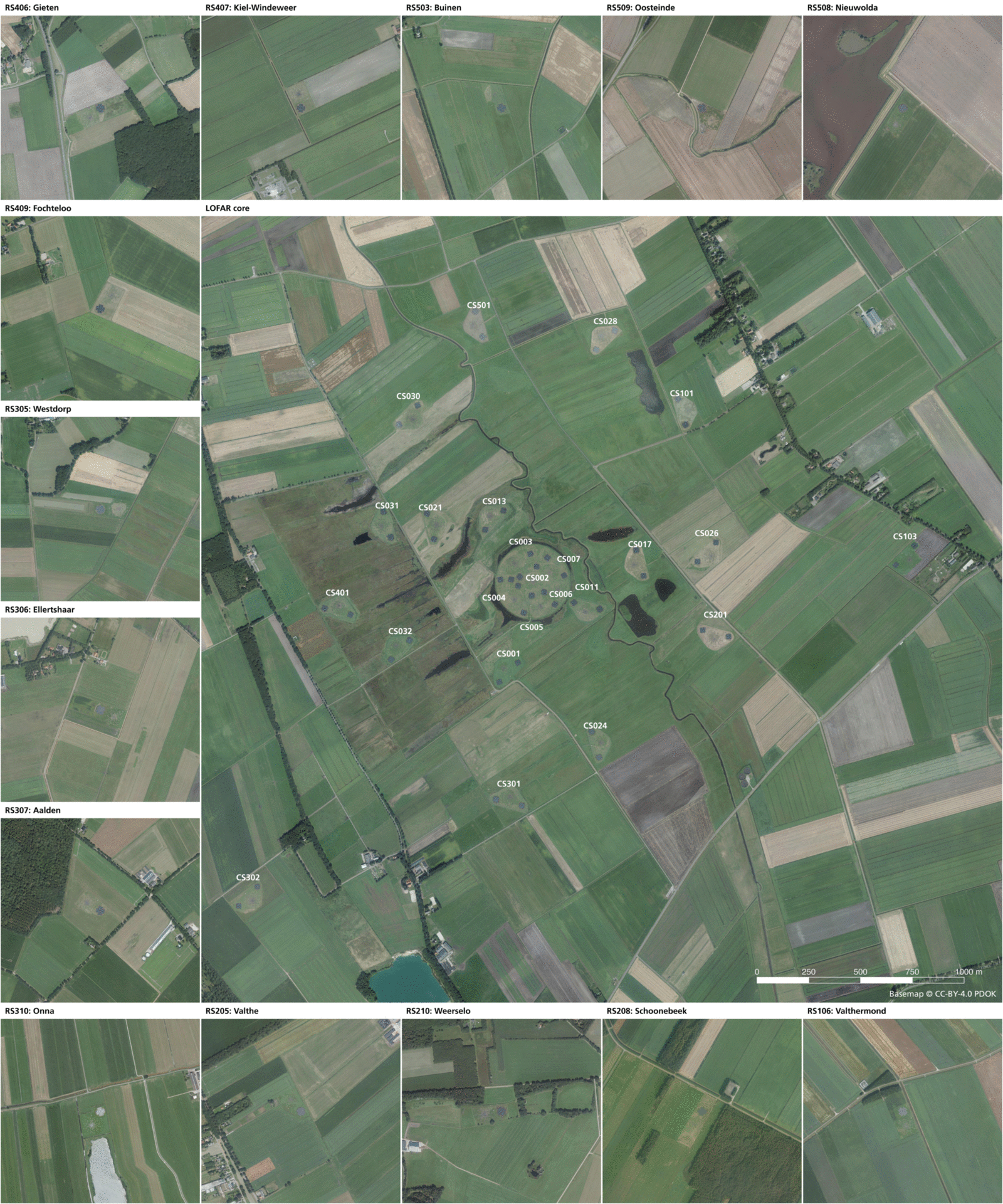
The software used for this work is QGIS, an open source GIS program comparable to e.g. ArcGIS. The files used to create this are at https://github.com/tammojan/lofarmap. I will give a software talk on using QGIS for LOFAR on July 6.
The topographical map may be used to go sightseeing all of the Dutch LOFAR stations. When doing so, please make sure not to use any RFI emitting devices such as mobile phones or cars.